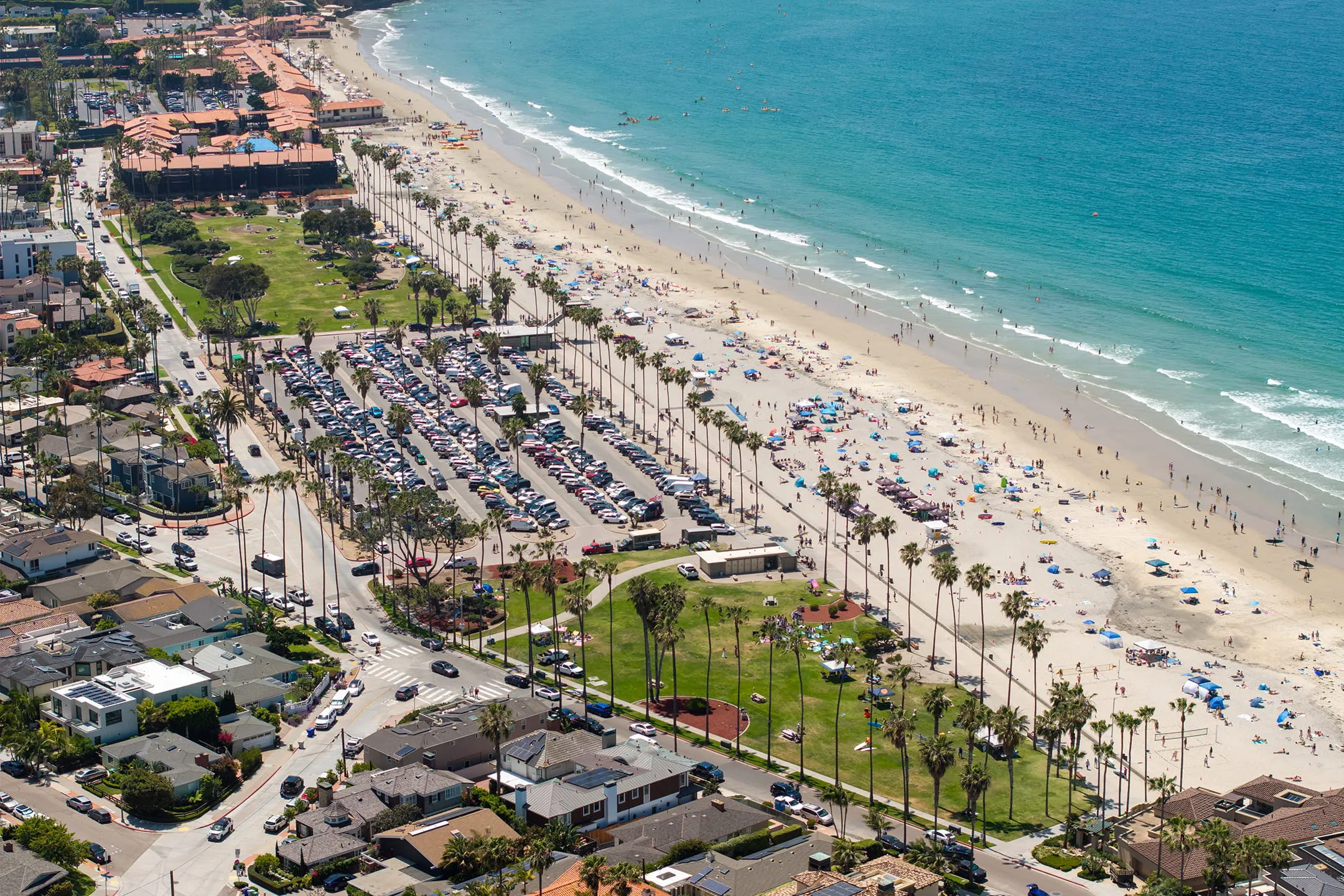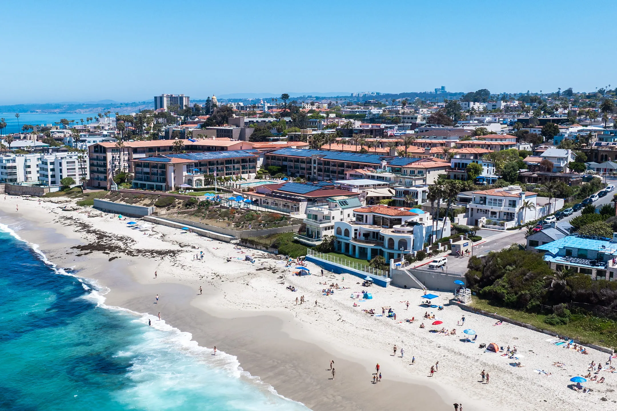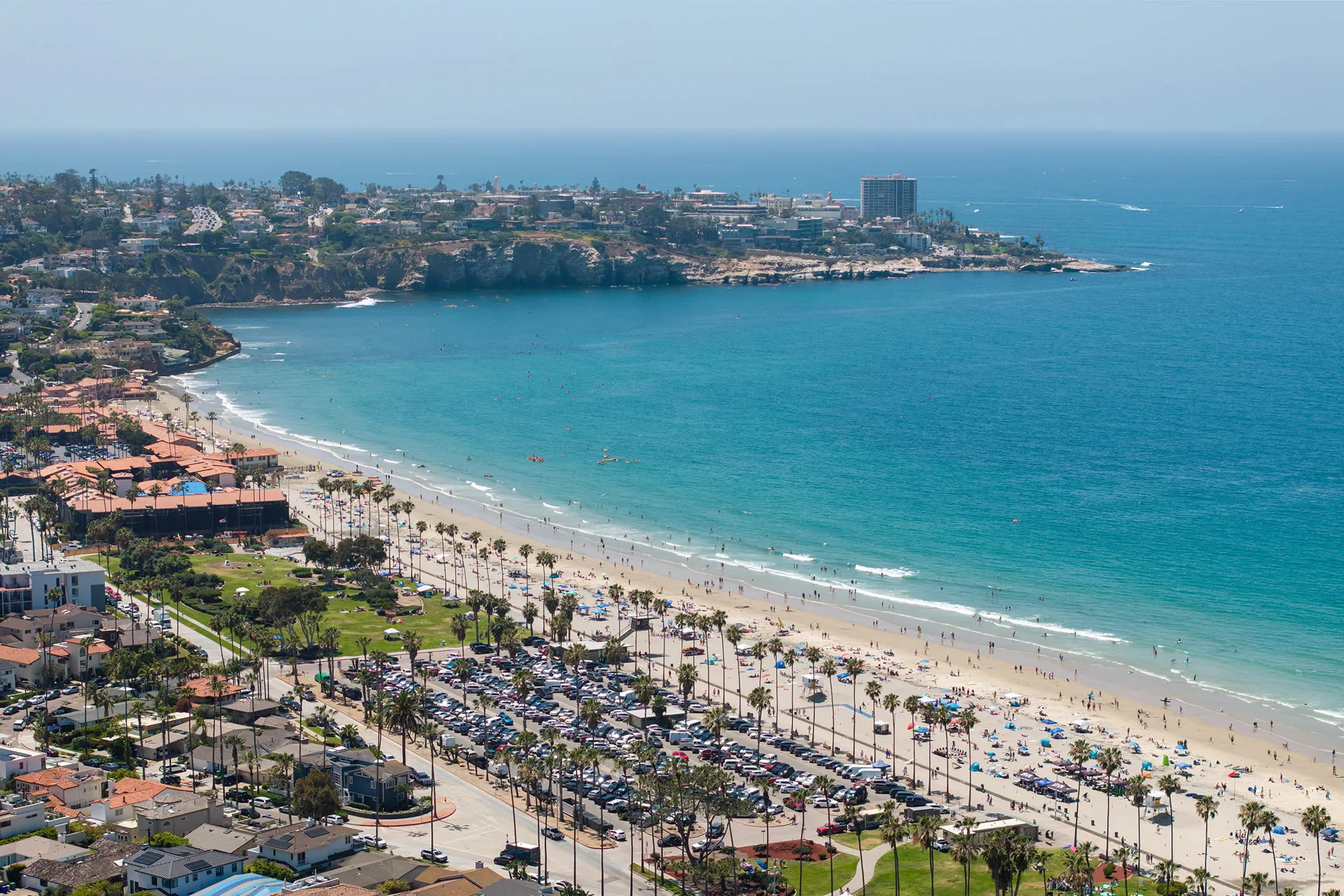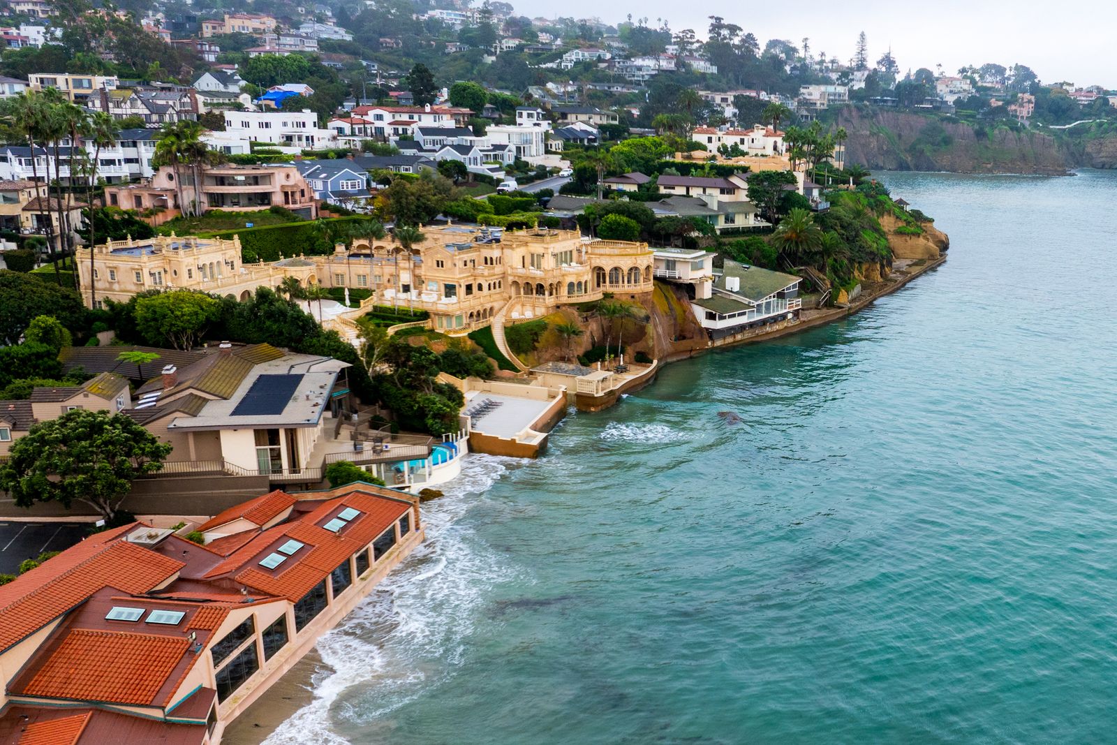
La Jolla’s record water levels are due to warmer ocean temperatures and above-normal high tides, plus El Niño effects.
Several locations along California’s coastline have experienced higher than normal sea levels, with La Jolla among four spots recording their all-time highest levels in the century-plus of data gathering.
From Oct 24 through 30, according to NOAA, La Jolla (the NOAA station at the end of Scripps Pier) measured at 2.65 feet above mean higher high water (MHHW), the average of the highest tides.
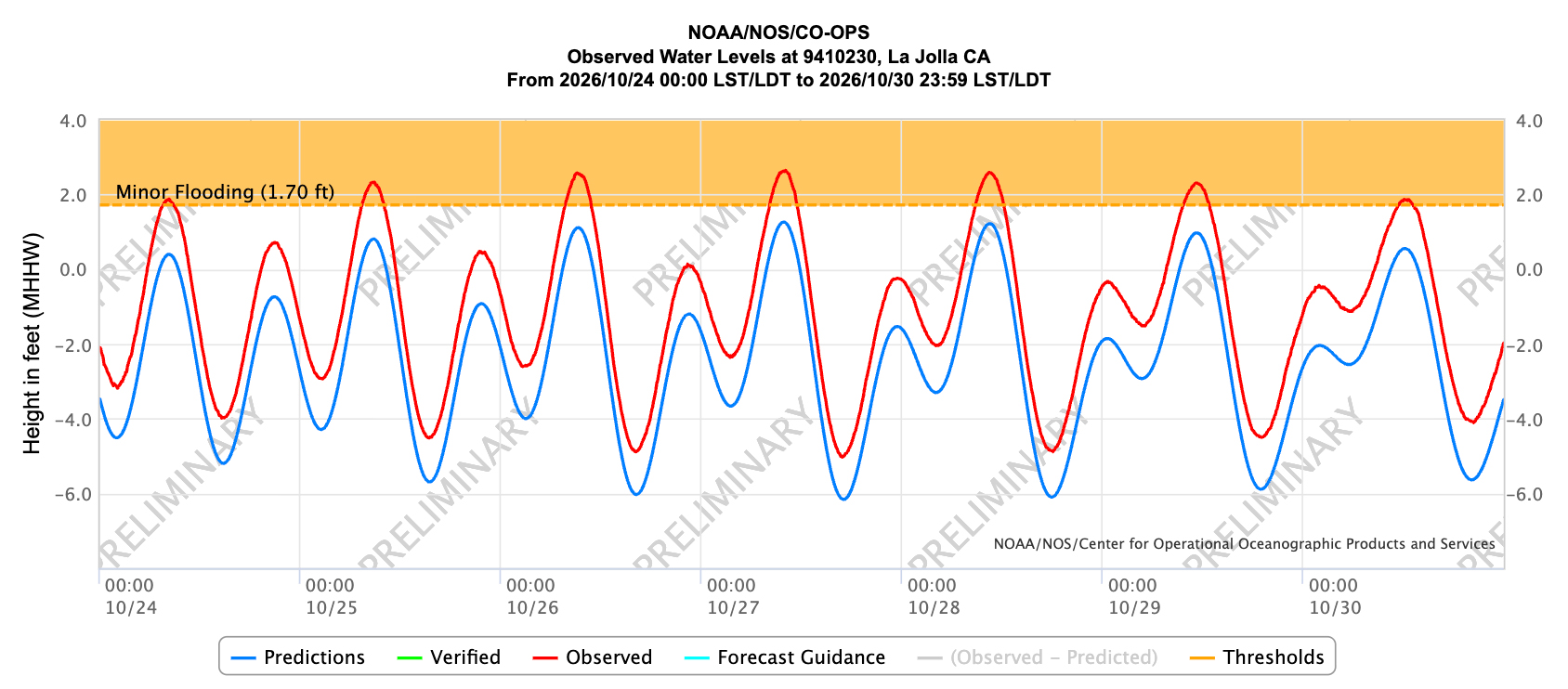
La Jolla’s measurements came in second to San Diego (the NOAA station at Broadway Pier), which recorded 2.80 feet above MHHW for the same time period; Los Angeles and Santa Barbara measured third and fourth.
The record-setting sea levels are due to a combination of factors: higher-than-normal astronomical tides; the effects of 2026 being an El Niño year, when warm marine waters expand from the heat; and an ongoing marine heatwave, further exacerbating sea level rise.
This El Niño is predicted to be particularly severe, bringing storms, coastal flooding and more to the San Diego region, prompting the city of San Diego to place sandbags at Point La Jolla and other La Jolla spots prone to flooding.
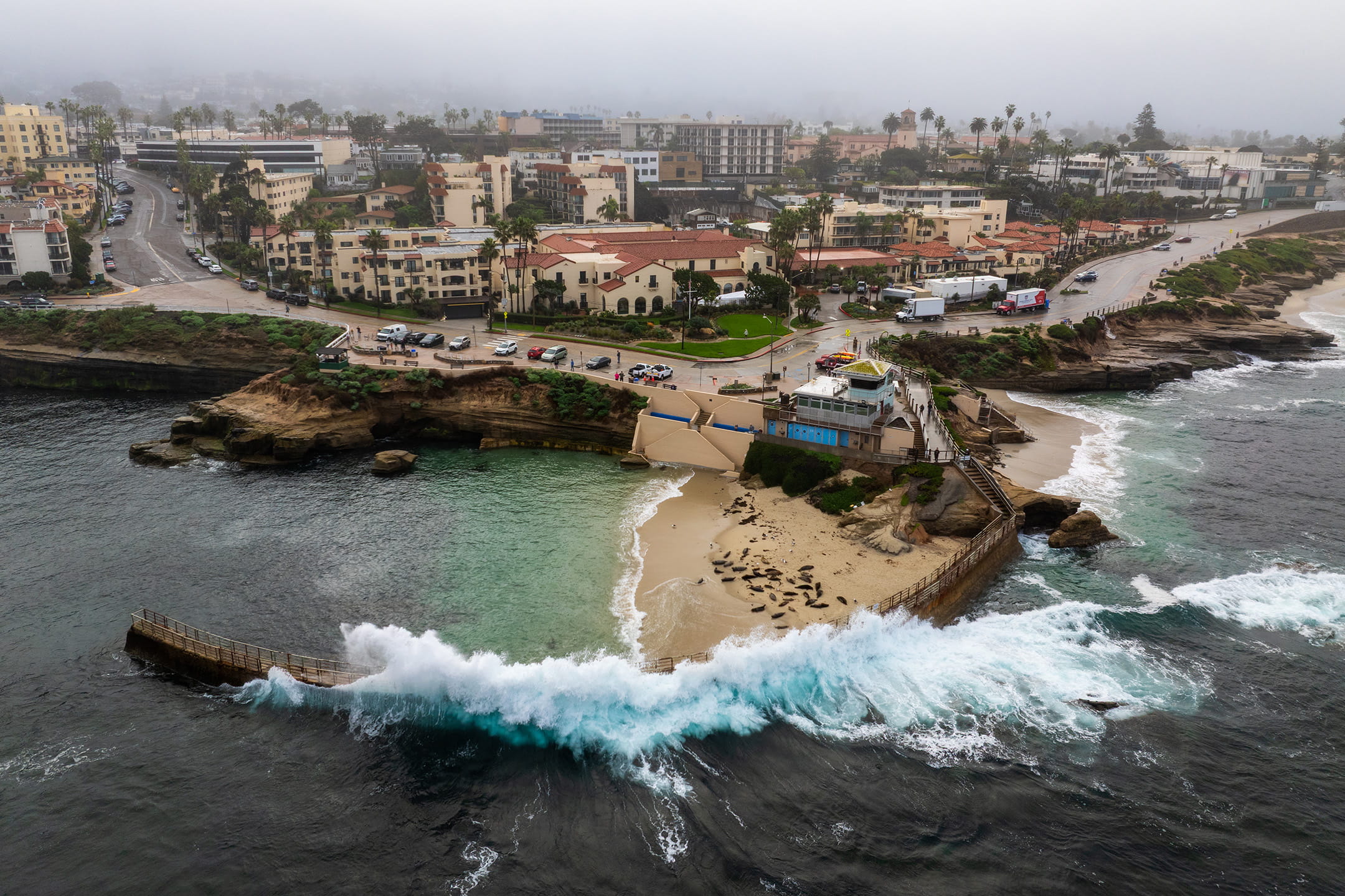
NOAA is predicting more abnormal high tides from Nov 22-27 and Dec 22-26, when the “king” tides return for the winter season and increase flood risk.
The king tides occur during a perigean spring tide, when the moon will be full and closest to the Earth and are most extreme approaching the winter solstice, when the sun is at its maximum declination (angle) relative to the equator.
Further, more Kelvin waves – pulses of warm marine water – are likely throughout the fall and winter due to ongoing El Niño conditions, keeping water levels elevated.
Communities can use NOAA’s Monthly High Tide Flooding Outlook to see what days in the coming weeks and months have an increased risk of coastal flooding; weather conditions may worsen or cause flooding outside of the predicted dates.